The Nile Delta
The Nile Delta
The Delta is formed by the division of the branches of the River Nile as it flows south through the Valley formed by the Nile in Upper Egypt. The river branches spread out in a V-shaped fan and make their way towards the Mediterranean through Lower Egypt. The Delta begins north of Cairo. In ancient times the Nile flood deposited layers of silt in this area, making the deltaic fan expand from east to west and push out into the sea. The construction of the Aswan dam has limited this expansion in modern times and the earlier seven to five branches of the Nile and distributaries have been reduced to two main branches, the Rosetta (Rashid on the west) and the Damietta (Dumyat on the east).
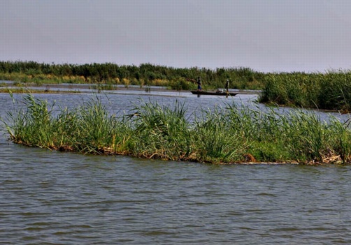
Reed beds in Lake Burullus.
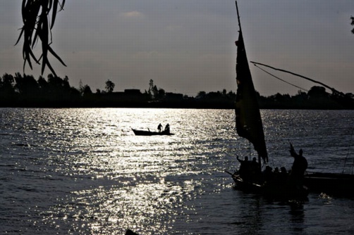
Fishermen and a ferry across the Rosetta Nile Branch.
The Delta encompasses the richest farmland in Egypt, but it also contains the largest cities after Cairo in Alexandria, Tanta, Damanhur and Mansoura. The landscape is almost entirely flat, punctuated by towns, villages, hamlets, cemeteries, tombs of sheikhs and animal huts. Aside from the main river channels there are numerous irrigation ditches, ranging from the large drainage channels, such as the Mahmudiyah canal, to the small irrigation ditches which take water from the main drains to the fields.
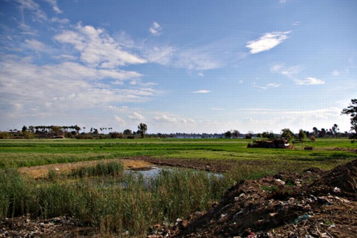
The Delta-scape.
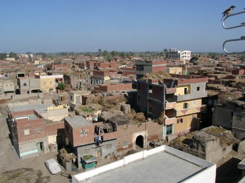
A Delta town.
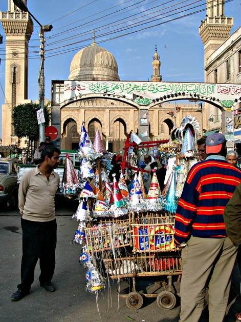
The mosque of Sheikh Badawi at Tanta, with a stall selling moulid paraphernalia.
On the western side of the Delta there is the desert plateau leading ultimately to the great Western Desert with the Sand Sea and Qattara Depression. The Wadi Natrun forms an oasis on the western side which was a rich resource for salts, including natron, in ancient times.
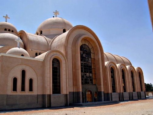
New Church in Wadi Natrun.
On the eastern side there is the important highway towards Sinai, now crossing the Suez Canal through the towns of Suez, Ismailiya and Post Said. The marshy lakes areas around the Bitter Lakes have been partly drained to increase irrigated land in the area.
To the north is the lake system of Lake Menzala in the east, Lake Burullus, Lake Idku and Lake Maryut in the west. These have also been partly drained to create newly irrigated lands and fish farms.
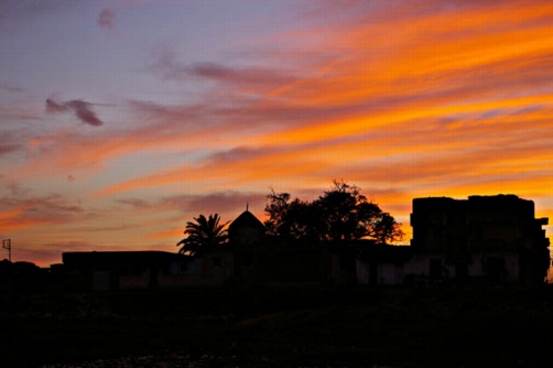
Sunset.